
- 글번호
- 1057109
[비교과] 2026 Fall K-DS 콜로퀴움 국제 저명 인사 특강 시리즈(1차)
- 작성일
- 2026.10.08
- 수정일
- 2026.10.08
- 작성자
- 관리자
- 조회수
- 93
2026 Fall K-데이터사이언스 국제 저명 인사 특강 시리즈 1차 특강 안내입니다.
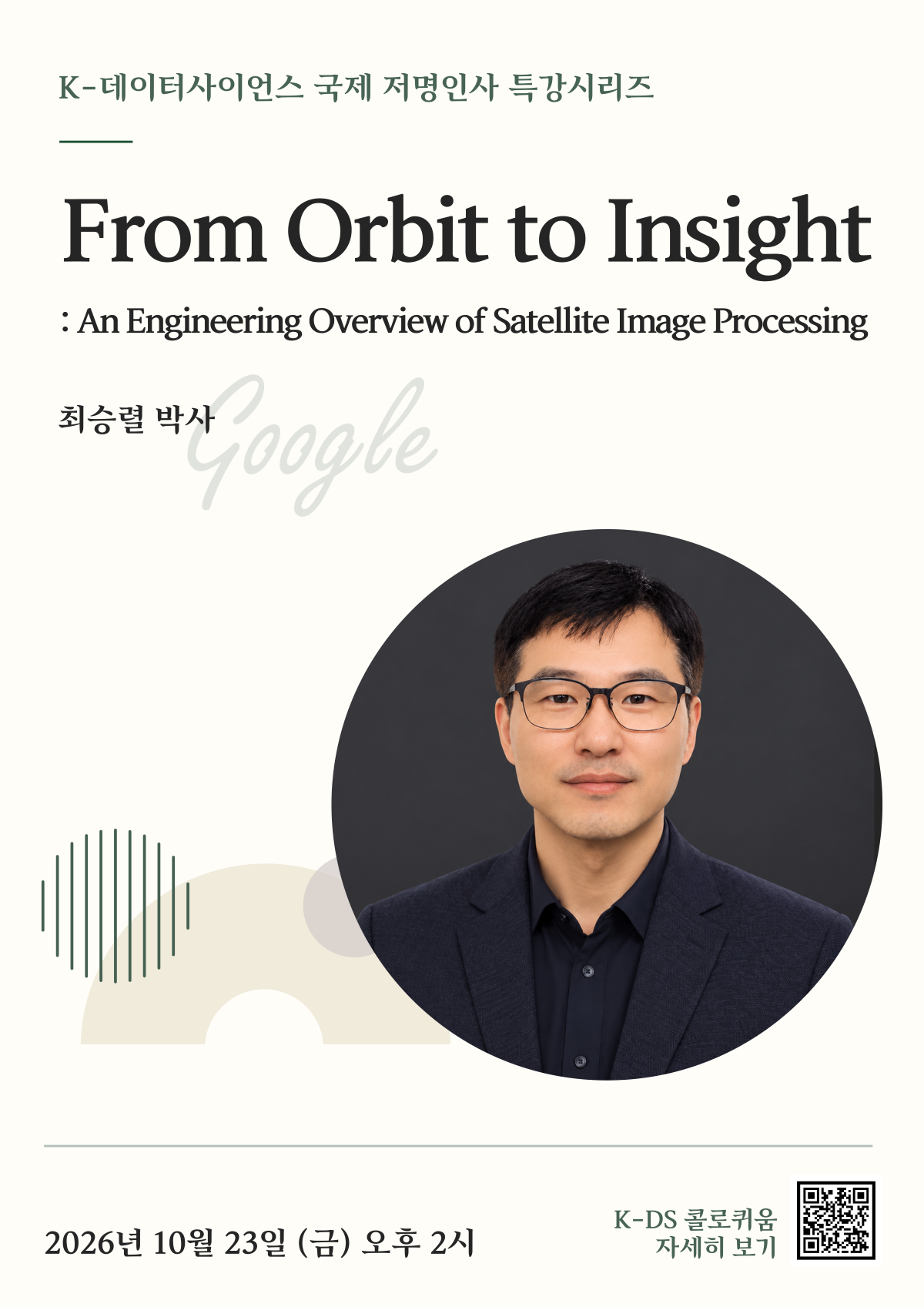
 일시: 2026. 10. 23.(금) 오후 2시
Zoom 회의ID: 607 180 2035
주제: From Orbit to Insight: An Engineering Overview of Satellite Image Processing
연사: 최승렬 박사(Google)
강연 개요: Every day, hundreds of Earth observation satellites capture terabytes of visual and multispectral data across the globe, powering applications ranging from climate monitoring and disaster response to precision agriculture and global supply-chain intelligence. Yet for many engineering students familiar with standard computer vision and consumer photography, the journey of a satellite image—from photons entering an orbital sensor to an analysis-ready map—remains a black box. This talk provides a comprehensive, end-to-end engineering overview of modern satellite imaging systems, bridging the gap between classical camera concepts and spaceborne remote sensing. We begin with the fundamental physics and geometry of image formation. Unlike consumer cameras that rely on two-dimensional frame sensors and a simple pinhole perspective, high-resolution Earth observation satellites typically employ pushbroom (line-scanner) sensors that build images strip by strip as the spacecraft moves along its orbit. We will examine how satellite, scanner, and conventional camera sensors differ, how individual spectral channels are combined to create color imagery, and why satellites capture bands beyond visible RGB—such as deep blue, red-edge, and near-infrared. Using commercial constellations like Airbus’s Pléiades Neo as a concrete case study, we will explore real-world hardware and orbital specifications, including orbital frequency, swath width, and spacecraft agility for off-nadir camera pointing. We will also introduce the Rational Polynomial Coefficient (RPC) camera model and explain how it maps 2D pixel locations to 3D geographic coordinates (latitude, longitude, and elevation). Next, we dive into the radiometric and geometric processing pipelines required to turn raw sensor readouts into scientifically valid data. Whereas a smartphone camera’s image signal processor (ISP) optimizes photos for human aesthetic appeal, satellite image processing prioritizes physical and geometric accuracy. We will trace the radiometric transformation from raw Digital Numbers (DN) to at-sensor radiance, Top-of-Atmosphere (TOA) reflectance, and finally Surface Reflectance via atmospheric correction. In parallel, we will demystify geometric orthorectification: how elevation models are integrated to resolve precise geographic coordinates, and how Digital Terrain Models (DTM) and Digital Surface Models (DSM) differ in analytical applications. Beyond hardware and algorithms, we will survey the satellite imagery market and operational realities. Students will learn about major commercial providers and products alongside free public datasets (such as Landsat and Sentinel), how commercial imagery is priced, and what factors govern revisit frequency, local availability rates, and data delivery latency—as well as how real-world risks, such as the Pléiades Neo launch failure, impact constellation capacity. Finally, the talk concludes with a practical roadmap for students eager to start building with geospatial data. We will walk through beginner-friendly applications using free satellite imagery, showcase how Google Earth Engine enables planetary-scale analysis through a simple introductory code example, and highlight hands-on project ideas and learning topics for college engineering students interested in computer vision, remote sensing, and Earth observation.
많은 참여 바랍니다.
 Zoom 회의ID: 607 180 2035
※ 특강(60분 기준) 수강 시 마일리지 18점 부여
- 비디오 활성화 필수 / 강연시간의 80% 이상 참석 시에만 지급(줌 로그기록 체크) ex. 60분 강연 시 48분 이상 수강하여야 마일리지 적립 가능
- 비디오 비활성화 시 총 취득 마일리지의 20% 적립
- 전일제 대학원생 필수 참석
- 참가시 줌 프로필은 "전남대DS/성명/학번" 변경
- 첨부파일
- 첨부파일이(가) 없습니다.